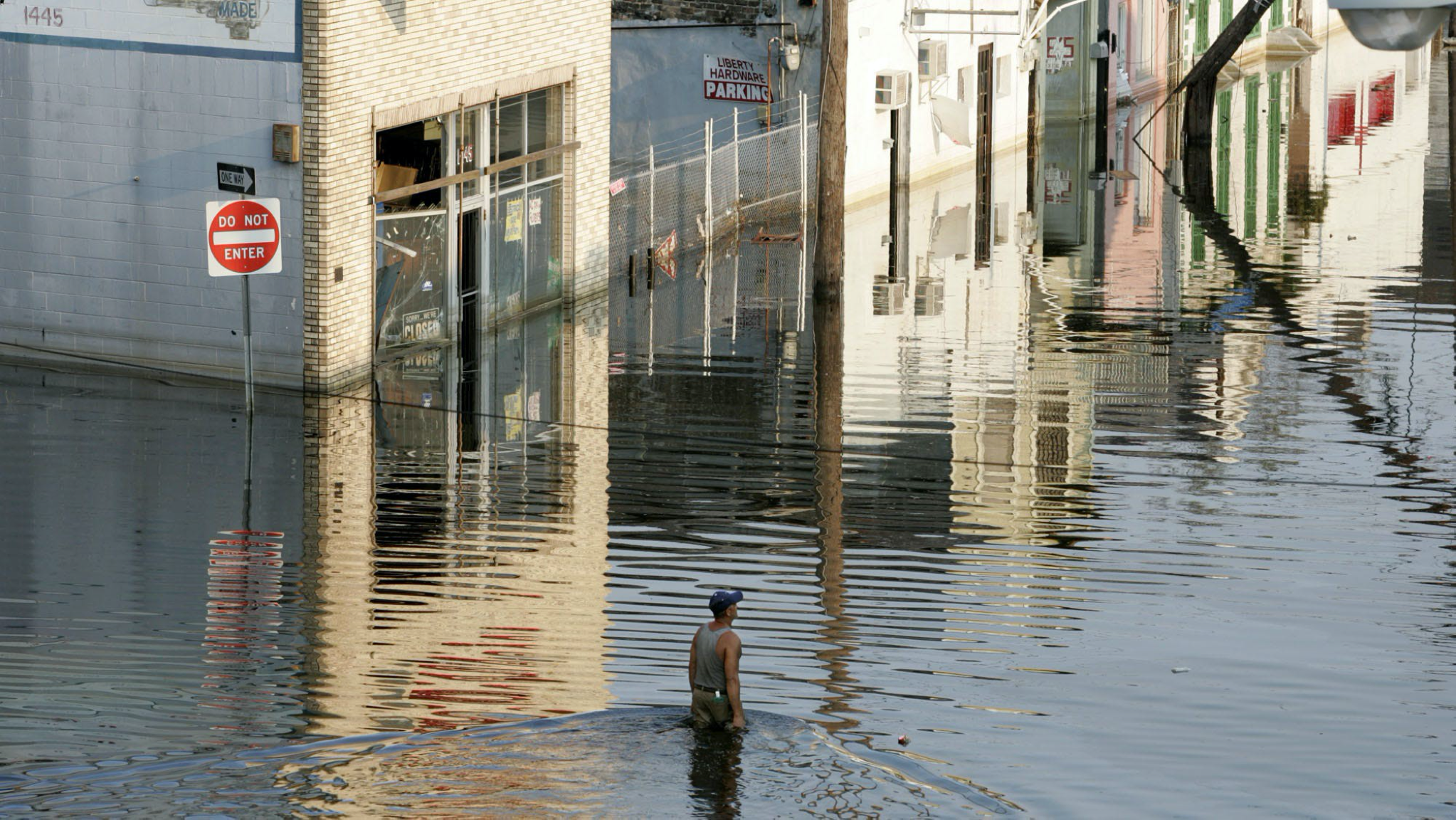
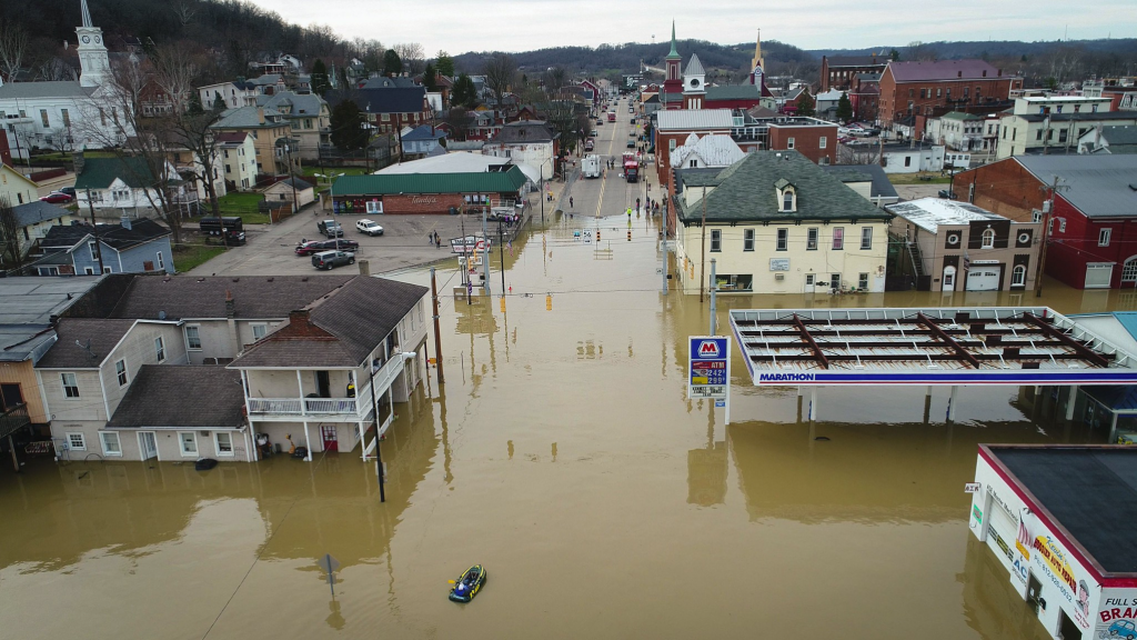
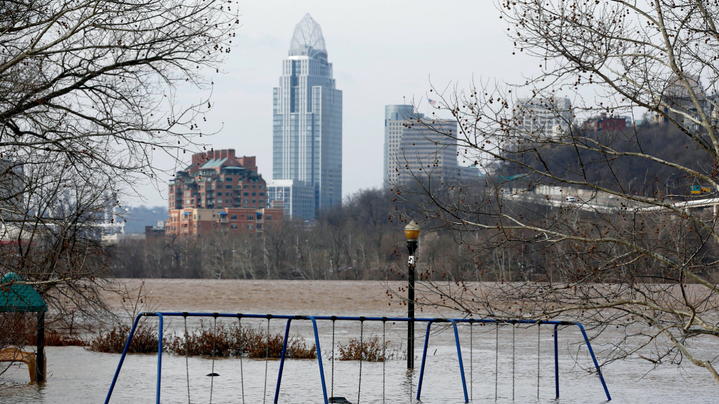
A new, nationwide flood modeling tool released Monday paints a picture of the U.S. as a country woefully underprepared for damaging floods, now and in the future.
The federal government’s best efforts to predict where flooding will strike have underestimated the risk to nearly 6 million homes and commercial properties primarily in the nation’s interior, leaving them unprepared for potential devastation, the analysis shows.
Meanwhile, the model prepares residents of coastal states and cities for risks to come as their communities head toward a future of more intense storms and rising seas.
Experts say the analysis is the latest evidence of a decades-long bungling of flood planning and policy at multiple levels of government across the country. And it presents difficult new questions about who will pay billions of dollars to save communities from going underwater: homeowners, towns and cities, or the U.S. taxpayer?
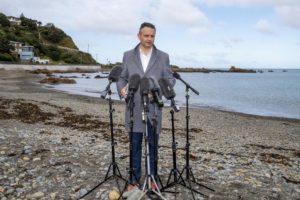
“Who is going to pay and how we are going to pay, is the ultimate question,” said A.R. Siders, a professor at the University of Delaware’s Disaster Research Center.
The analysis was conducted by the First Street Foundation, a nonprofit organization that paired dozens of scientists and engineers with researchers from academic institutions including the University of California-Berkeley, George Mason University and Rutgers University. The team combined several existing models of sea level rise, riverine flooding and simulations of extreme weather events into a single, nationwide flood assessment model that examined risk in all states except Alaska and Hawaii.
While insurance and investment companies, such as Blackrock, have long used their own private models to make decisions, First Street will allow users of its Flood Factor site to view flood risks to individual properties and created a Flood Lab that allows academic researchers to further access data for research.
The group’s modeling is “exactly what we need to be doing,” said Kerry Emmanuel, a professor of atmospheric science at MIT who serves on First Street’s advisory board.
“Until recently we didn’t have people putting all these little pieces together,” he said. “We had really good people working on that little piece of the problem and good people working on another little corner.”
First Street’s newly combined model found that about 14.6 million homes and other structures across the country currently face a 1% annual risk of flooding, representing about one out of every 10 such real estate parcels nationwide. But First Street calculated that current maps developed by the Federal Emergency Management Agency list just 8.7 million properties in the floodplain, a 40% undercount compared with what First Street found.
And the situation is getting worse. In addition to a present-day analysis, First Street’s modeling incorporated 2050 projections from the International Panel on Climate Change, the United Nations’ primary scientific body on the issue. The conclusion: Another 1.6 million properties will be at 1% annual risk of flooding by 2050.
The 1% threshold is the gold standard used by the federal government to assess which homeowners are required to purchase flood insurance. But experts say it’s also misleading, as it actually equates a 1-in-4 chance of flooding over the course of a 30-year mortgage. Local and county planners also use the threshold to determine which areas are safe to develop.
Many flood experts said the discrepancy between the two models wasn’t surprising, given the limitations baked into FEMA’s calculations. The federal agency is stretched thin, struggling to keep its flood maps up to date, particularly for inland areas perceived to be less vulnerable than the coasts, experts said. The agency also looks only at historical data to assess where flooding could strike next, leaving out current and future models that assess where else risk might exist or even be growing.
Grover Fugate, former executive director of Rhode Island’s Coastal Resources Management Council, said he butted heads with FEMA over floodplains during his nearly 35 years with the council. FEMA revamped its flood maps along the state’s coast in recent years and actually lowered storm-surge estimates by up to five feet where Fugate knew the opposite was true. His team took a closer look.
“We found that there were a series of mistakes with the FEMA maps that were alarming,” Fugate said.
Fugate said the agency hadn’t accurately accounted for the way winds would drive waves inland during massive storms, and also used a 50-year-old model to predict the way a storm surge would begin moving over the land.
The discrepancies led Fugate’s team to develop its own flood maps with what they felt were better models. As a result, his team found that FEMA had underestimated wave height during extreme storms by as much as 16 feet.
“We now use those in the state for our purposes,” Fugate said.
Eric Tate, a professor at the University of Iowa who early in his career built flood modeling tools as a FEMA contractor, agreed the agency’s maps can be outdated, miss lower-priority areas and at times become subject to political influence through a revision process.
“As a result of all of these, there’s a lack of uniformity nationwide,” said Tate, who plans to use First Street’s data in his research. “You have a map here that’s based on this set of data, and this way of analysis. And then you have another map somewhere else, and it’s different.”
FEMA’s maps and First Street’s model depict different kinds of risk and serve different purposes, said FEMA Press Secretary Lizzie Litzow.
The federal agency is charged by Congress with mapping current flood risk and its flood data is used for floodplain management and for life and safety during a flood event. It works with local and state government officials to gather information to prepare and update maps and allows local officials to submit additional data to ask for map revisions.
The agency sees First Street’s Flood Factor as a tool to inform a property owner’s decision to buy flood insurance or take steps to reduce individual flood risk, Litzow said.
FEMA’s maps remain the backbone of effective floodplain management, said David Maurstad, the agency’s deputy associate administrator for Insurance and mitigation. Local adoption of minimum standards based on the maps helped avoid $100 billion in losses over the past 40 years, he said.
FEMA’s regulatory maps depict the 1% chance annual event, but flood risks exist outside that flood plain, Litzow said. By the agency’s own accounting, 20% of flood claims come from properties outside high-risk flood zones.
Although people try to compare flood maps to actual events, Litzow said, it’s “not an apples-to-apples comparison.”