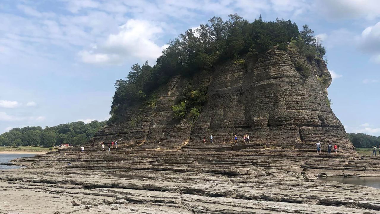
A rock formation in the Mississippi River normally only reachable by boat is accessible by foot for the second year in a row as water levels plummet.
Tower Rock juts out of the Mississippi River in Perry County, Missouri, south of St. Louis and around 25 miles north of Cape Girardeau. When water levels drop below 1.5 feet at a nearby river gauge, enough of the underlying ground is exposed for people to walk to the formation.
Veronica Merrell visited Tower Rock this past weekend and shared photos on social media that showed several people made the trek out to the rock.
“We looked at the river gauges before we went and knew it was passable,” Merrell told CNN. “I’ve grown up on the mighty Mississippi in a small town in Missouri and Tennessee, and to see it this low was pretty eye opening.”

Water levels at the nearby gauge were near-zero earlier this week, with no significant improvement forecast in the near term as extreme drought grips the Central US.
Every water level gauge along a nearly 400-mile stretch of the Mississippi from the Ohio River to Jackson, Mississippi, is at or below the low-water threshold, according data from the National Oceanic and Atmospheric Administration and US Geological Survey.
Tower Rock was walkable last year amid another severe drought. But water levels this week were even below what they were in October 2022, USGS data shows.
Before last October, the formation “was probably only accessible once or twice in the last decade,” Steve Schell, a natural history biologist with the Missouri Department of Conservation, previously told CNN.
Merrell said the visit to Tower Rock was made more significant by her recent diagnosis with lymphoma. It “left me feeling connected to the power and beauty of nature,” she said, and “came at a time when I needed it the most.”
“The river’s low water levels revealed its rugged form,” she said, “and a different experience than when the levels are higher.”

CNN’s Rachel Ramirez and Brandon Miller contributed to this report.


