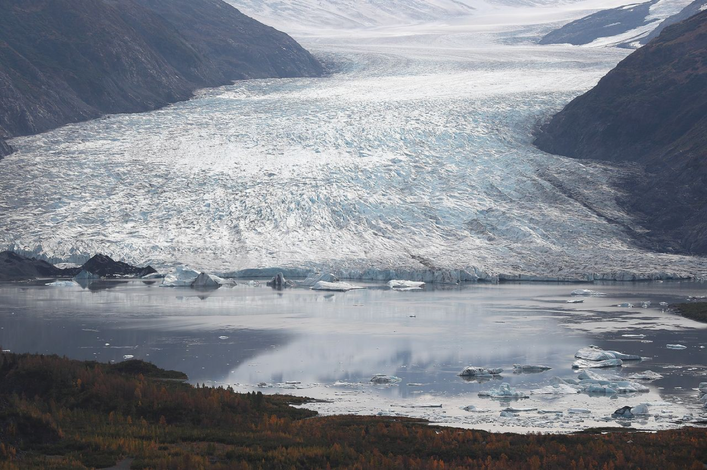
Research shows the Earth lost a sheet of ice 100 meters thick roughly equivalent to the size of the U.K. in recent decades
From Antarctica to the Arctic, the world’s ice is melting faster than ever, according to a new global satellite survey that calculated the amount of ice lost from a generation of rising temperatures.
Between 1994 and 2017, the Earth lost 28 trillion metric tons of ice, the survey showed. That is an amount roughly equivalent to a sheet of ice 100 meters thick covering the state of Michigan or the entire U.K.—and the meltwater from so much ice loss has raised the sea level just over an inch or so world-wide, the scientists said.
“It’s such a huge amount it’s hard to imagine it,” said Thomas Slater, a research fellow at the U.K.’s University of Leeds Centre for Polar Observation and Modelling and the lead author of a paper describing the new research. “Ice plays a crucial role in regulating the global climate, and losses will increase the frequency of extreme weather events such as flooding, fires, storm surges and heat waves.”
The paper was published Monday in the European Geophysical Union’s journal the Cryosphere.
Adding up the loss from glaciers, ice shelves, polar ice caps and sea ice, Dr. Slater and his colleagues determined that the rate of global melting has accelerated 65% since the 1990s.
The ice loss has grown from 0.8 trillion tons a year to 1.3 trillion tons a year, driven by rising atmospheric and ocean temperatures resulting from greenhouse gas emissions, the scientists said. Slightly more than half the ice loss occurred in the Northern Hemisphere.
Dr. Slater and a team of eight other scientists from the University of Edinburgh, University College London and a Edinburgh-based climate data company called Earth Wave Ltd. based their findings on 50 studies of ice loss, field measurements and data from 17 satellite missions.
The researchers employed a variety of techniques to reach their conclusions. These included the use of satellite altimeters and gravity sensors to measure the volume and mass of ice on the ground below. They also used satellite imagery of ice shelves and glaciers to detect changes over the years.
“It’s a reminder that dangerous climate change is already here, in this case in the form of melting ice, rising sea level and the inundation of our coastlines,” said Michael Mann, a Pennsylvania State University climatologist and author of “The New Climate War.” He wasn’t involved in the research.
The new research comes as the U.S. moved last week to rejoin the Paris Agreement, an international climate accord designed to limit greenhouse-gas emissions by 2050 and keep the rise in global temperature to no more than 3.6 degrees Fahrenheit (2 degrees Celsius), compared with preindustrial levels.
Former President Trump officially withdrew from the accord last year after vowing to do so for several years.
The average global temperature has risen about 2 degrees Fahrenheit since the 1880s, when systematic record-keeping began, according to the National Aeronautics and Space Administration.
Last week, NASA and the European Union’s Copernicus Climate Change Service announced that Earth’s average global surface temperature in 2020 tied 2016 as the warmest year on record.
Independent studies by the National Oceanic and Atmospheric Administration and a private climate-analysis group called Berkeley Earth found that 2020 was slightly colder than 2016 but warmer than every other year since 1850.
All told, the past seven years have been the warmest in the modern record, according to NASA.
“It’s important that we keep up with the big picture for ice because the story there is very dramatic, despite the possibility that one glacier here or there might be doing something different,” said climate scientist Gavin Schmidt, director of the NASA Goddard Institute for Space Studies in New York.
Write to Robert Lee Hotz at sciencejournal@wsj.com


